
Stockholm Heat
Heat events are associated with higher rates of cardiovascular disease, strokes, and death. Urban forests, parks and trees can alleviate the negative effects of heat events on public health. However, models tend to make many assumptions to cover large areas, or on case studies, which have severe spatial and temporal restrictions.
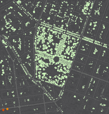
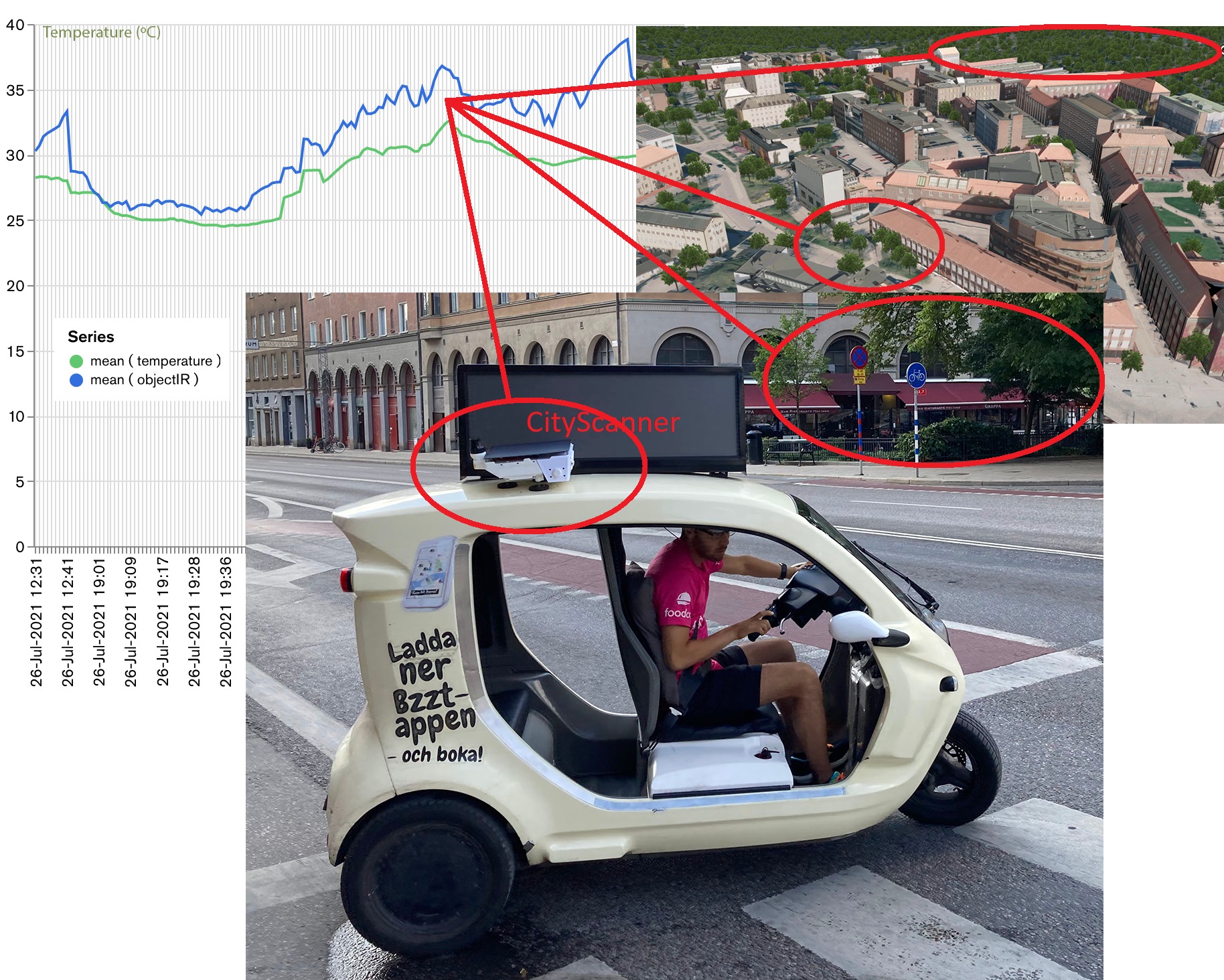
We combine the deployment of low-cost sensors on vehicles – the City Scanner – with existing data on forest and other tree-cover habitats to measure ambient and ground temperature, and computer vision models to quantify greenery at the street level, in order to assess the hyperlocal benefits of urban greenery at a fine temporal and spatial granularity. This is compared to the influence of the urban canyon and natural topography on microclimate as well as to the influence of tree-cover habitat patterns at the neighbourhood and landscape scales. This knowledge will be important to counter the health impacts of heat events on several spatial scales relevant for urban planning.
The Stockholm Heat project collaborates with BZZT , who hosts the City Scanners.
Project period
2021-2022